Geoscience Training
A geoscience catalogue of thirty-six programmes delivered with an international geological-survey partner and twelve delivered by our own centre, covering introductory geological concepts, 3D modelling and geostatistics, hydrogeology, natural hazards and the energy transition. Under our agreement with the partner, every programme in the catalogue can be delivered in the Kingdom or virtually, without the need for travel abroad.
Geology programmes
Basic concepts in geology — 2 days
The nature of the subsurface and its socio-economic issues, identifying minerals and rocks, and reading geological maps.
Field geology — 4 days
A field programme in geological observation, description and the mapping of outcrops.
Geological maps: use, design and limitations — 2 days
What a geological map is, how it is read and drawn, and the limits of the information it provides.
Applied geology: drilling, surveying, excavation — 2 days
Applying geology to drilling, surveying and excavation work on projects.
Geology and geotechnics for subsurface development — 3 days
The geological and geotechnical basis of subsurface development projects.
Surface formations and their geotechnical behaviour — 4.5 days
The geology of surface formations, their geotechnical behaviour and their interaction with human activity.
Rock alteration: phenomena and their value — 5 days
Investigating rock-alteration phenomena and understanding their meaning and value in the geosciences.
Analytical characterisation of rocks and minerals — 3 days
The challenges of analytically characterising rocks and minerals, and the results each method can be expected to give.
Applying geophysical methods — 3 days
Choosing the geophysical method suited to the objective, applying it and interpreting the results.
Remote sensing for geology and land movements — 3 days
Using remote sensing for geological mapping and for monitoring ground movement.
Geological data management and modelling — 3 days
Organising and managing geological data, and an introduction to geological modelling.
Geostatistics and interpolation in geosciences — 3 days
The geostatistical concepts and interpolation methods that models and estimates are built on.
Introduction to 3D geological modelling — 3 days
Building a three-dimensional model of the subsurface with specialist modelling software.
Groundwater programmes
Basic concepts and challenges in hydrogeology — 2 days
An introduction to groundwater science and the main challenges it faces.
Principles and methods of hydrogeology — 5 days
The extended programme in hydrogeological principles and their field and analytical methods.
Water drilling: techniques and regulations — 2.5 days
Water-well drilling techniques and the regulations that govern them.
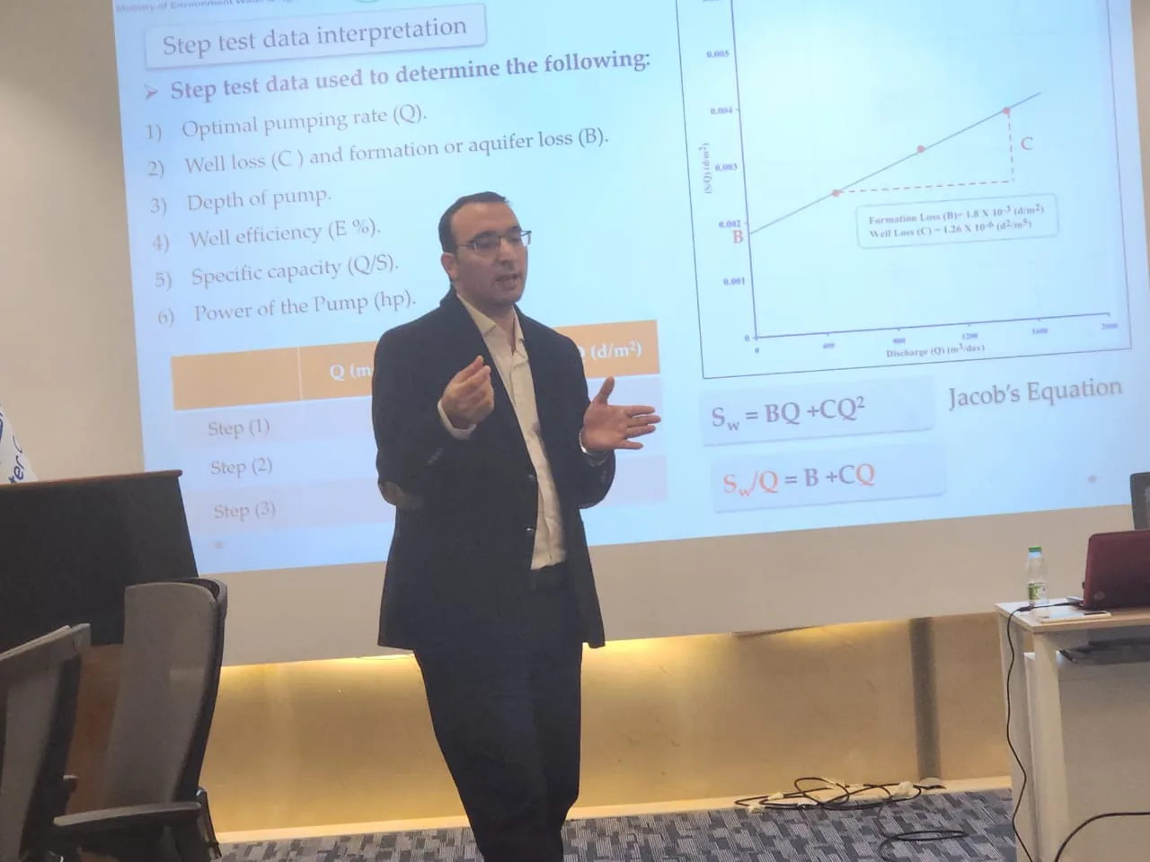
Interpretation of test pumping — 2.5 days
Reading test-pumping results and deriving aquifer properties from them.
Groundwater quality: monitoring and diagnosis — 3.5 days
Building a groundwater-quality monitoring programme and moving from readings to a diagnosis.
Contaminants in underground environments — 3 days
How contaminants travel in the subsurface and how their behaviour changes.
Groundwater contamination by pesticides — 2 days
Sources of pesticide contamination, how it reaches aquifers, and how it is assessed.
Chemical analysis of water — 1 day
The fundamentals of water chemical analysis and how to read the results.
Global hydrological modelling — 2 days
Modelling the water cycle at basin scale with a global hydrological model.
Introduction to hydrogeochemical modelling — 4 days
Modelling the chemical interactions between water and rock in aquifers.
Hazards and climate programmes
Natural hazards: assessment and prevention — 2.5 days
Methods for assessing natural hazards and designing prevention measures.
Handling uncertainty in risk assessment — 2 days
Working with the uncertainties in natural and environmental risk assessment.
Integrated natural risk management — 3 days
Integrated risk management and the role of the human and social sciences within it.
Geotechnical drought risks — 2 online modules
Shrinkage and swelling of clay soils and their effect on structures, across five hours of online learning.
Coastal hazards: concepts, tools and methods — 2 days
Defining coastal hazards, the tools that assess them and the methods for handling them.
Asbestos in the natural environment — 1 day
Naturally occurring asbestos in rock and its bearing on mining, quarrying and excavation work.
Climate change impact, adaptation and services — 2 days
Measuring climate-change impact and building adaptation measures and climate services.
Energy and resources programmes
Geological storage of CO₂ — 1.5 days
The principles of injecting and storing carbon dioxide in deep geological layers.
Fundamentals of geothermal energy — 1 day
An introduction to geothermal energy, its resources and its applications.
Vertical geothermal probe field design — 2 days
Designing vertical geothermal probe fields and calculating their performance.
Induced seismicity in deep geothermal projects — 2 days
Monitoring and controlling the seismicity induced by deep geothermal projects.
Mineral resource impacts with LCA — 2 days
Modelling the production of mineral raw materials within life-cycle assessment and evaluating their environmental impacts.
Geoscientific document management — 8 days
National governance of strategic mineral-resource information and its documentary management.
Programmes designed and delivered in-house
Geophysical logging fundamentals
The fundamentals of geophysical logging and downhole imaging technique.
Earth resistivity methods
Earth-resistivity measurement methods and their environmental applications.
Electromagnetics and its applications
Electromagnetic methods and their various applications in subsurface survey.
Ground-penetrating radar (GPR)
Ground-penetrating radar and its shallow-depth applications.
Interpreting geophysical logs
Reading geophysical borehole logs and tying them to the stratigraphic sequence.
Geophysical data analysis with Geosoft
Using Geosoft to analyse and present geophysical data.
Basics of Geographic Information Systems (GIS)
An introduction to GIS, the first in a series of programmes that progresses to advanced analysis.
Data analysis using GIS
Analysing spatial data and drawing results from it with GIS.
Advanced GIS processing and applications
Advanced processing and specialist applications in GIS.
Basics of well logging
The fundamentals of well logging, reading the logs and tying them to the stratigraphic sequence.
Geodetic network auditing by satellite
Advanced methods for auditing geodetic networks against the global coordinate system.
Managing exploration operations
Planning, running and tracking field exploration operations.
Common features of all programmes
Delivery in the Kingdom or virtually
Our agreement with the partner covers delivering any programme in Saudi Arabia or remotely.
Content adapted to your projects
Content is adapted to the client's projects and data.
Trainer allocation by programme
Some programmes are delivered by our own staff, some by associate trainers and some with the partner geological survey, as each programme requires.
Hands-on practice
Samples, maps, case studies and exercises on the modelling software.
Specialist geoscience programme enquiries
Contact us regarding the discipline, the number of trainees and their level.
Contact our team