Geophysical Exploration Surveys
Geophysical surveys are used to select drilling locations. We carry out airborne and ground surveys that map subsurface structure and rank drill targets by priority; this method defined two gossan targets in the Nuqrah belt.
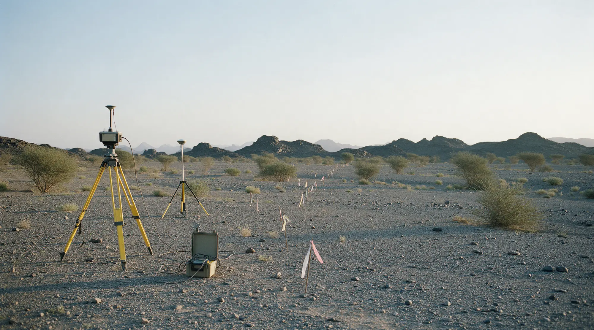
Geophysical survey methods
Airborne magnetic survey
Airborne magnetic survey covering large areas and showing the regional structure of the mineralisation.
Ground magnetic survey
Ground magnetic survey under differential GPS control to detail the promising targets.
Seismic survey
Seismic survey to resolve the stratigraphic sequence and the depth of interfaces.
Gravity survey
Gravity measurements to pick out the density contrasts that point to orebodies.
Ground-penetrating radar
Ground-penetrating radar for shallow targets and near-surface detail.
Drill-target ranking
Combining the survey results with geology and geochemistry to rank targets before drilling.
Selecting the survey method
Initial coverage of large areas
Airborne magnetics — covers the whole licence and reveals the regional structure before any ground work.
Detailing a promising target
Ground magnetics under differential control — raises resolution over the limited area the airborne survey flagged.
Resolving depth and sequence
Seismic and gravity — resolve interface depths and the density contrasts that point to orebodies.
Shallow targets
Ground-penetrating radar — for near-surface depths and detailing work.
Other mining services
Request a geophysical survey
Contact us with details of the licence area and the target commodity.
Contact our team