Borehole Geophysical Logging
Geophysical logging measures the full borehole column in situ, complementing recovered samples. We have operated logging units for more than fifteen years with a government environment and water body, and logged more than 500 boreholes on the Riyadh Metro.
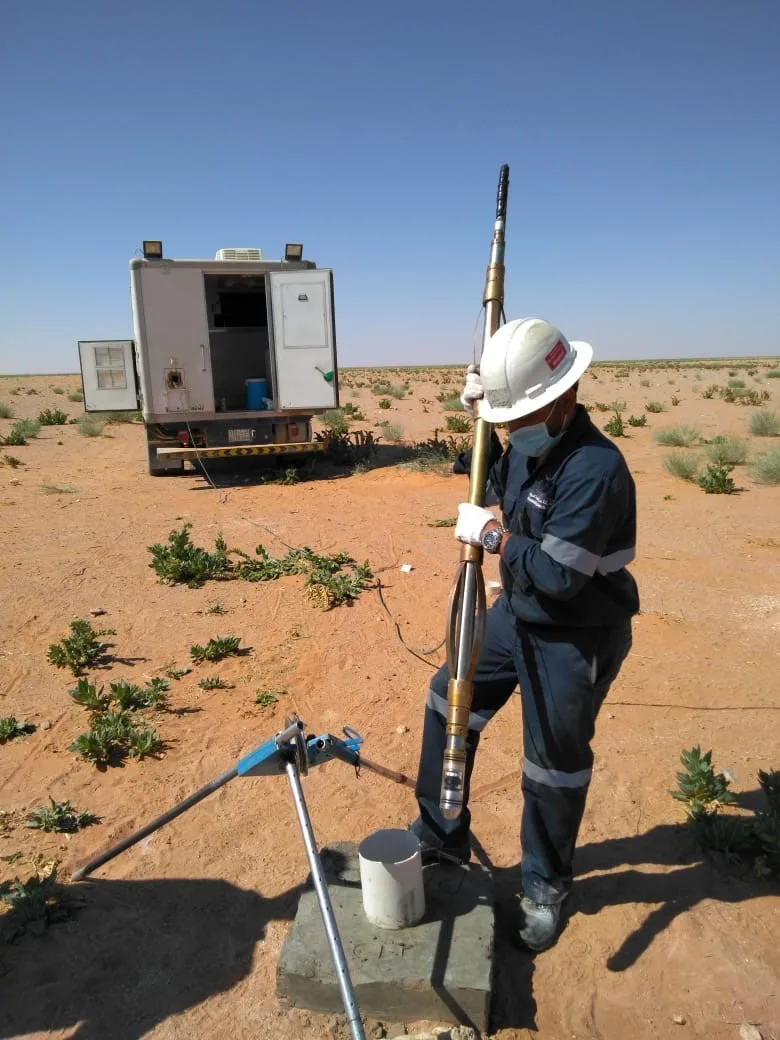
Borehole logging measurements
Natural and spectral gamma
Measuring the natural radioactivity of the formations and separating its three sources.
Caliper
Measuring hole diameter with depth to reveal cavities and washouts.
Optical televiewer
Optical imaging of the borehole wall showing joints and fractures at their true dip and azimuth.
Temperature and conductivity
Temperature and conductivity logs to locate water entries and changes in quality.
Flow measurement and sampling
Measuring in-hole flow and taking downhole water samples from selected depths.
Log interpretation and correlation
Interpreting the logs and correlating the measurements — such as uranium against phosphorus pentoxide.
Other geoscience services
Request borehole logging and interpretation
Contact us with the number and depth of boreholes and the purpose of the logging.
Contact our team